Un-invisible: geospatial mapping effort a 'paradigm shift' for immunisation in DRC
Layering health workers’ insights onto satellite data in the DRC has literally put the well-being of entire villages on the map.
- 2 July 2024
- 6 min read
- by Larissa Diakanua , Gavi Staff
The fact that the Democratic Republic of the Congo (DRC) last carried out a census about 30 years ago hasn’t exactly made the country’s efforts to reach every child with essential vaccines easy, points out Dr Pierre Akilimali, a researcher at the Kinshasa School of Public Health. The definitive denominator – the number of children the programme ought to be immunising – has been lacking for a couple of generations now.
Fortunately, in the meantime, technology has become capable of leapfrogging logistical hurdles. Dr Akilimali works as a research coordinator on a Ministry of Health-led project called Mapping for Health (M4H), which uses granular geospatial data from high resolution satellite images, along with data collected on the ground with a smartphone app, to help health workers create detailed, thorough vaccination plans.
“M4H is not just a tool; it's a paradigm shift in how we approach health care planning”
- Dr Pierre Akilimali, public health researcher
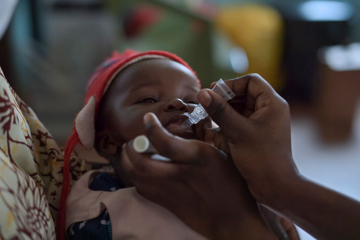
Broadly, the intention is to zero in on zero-dose children; specifically, the project supports a Ministry of Health aim to boost vaccine coverage by 15% per targeted province initially by 2020, then by end of 2024, translating to 220,000 additional children protected.
In 2020 and 2021, Mapping for Health, with Gavi funding, targeted five priority provinces: Kinshasa, Kasaï, Kasaï-Oriental, Haut Katanga and Lomami. In those provinces, during that time-frame, the health system recorded a significant increase in vaccine coverage.
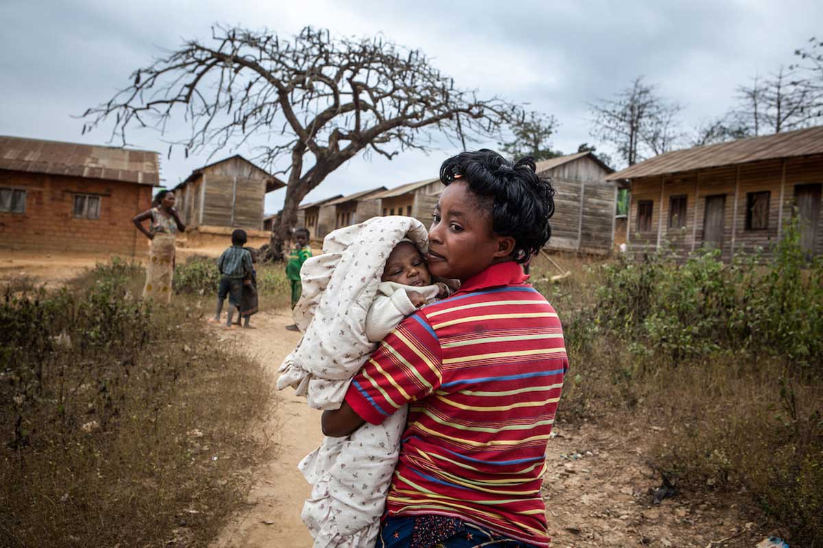
“We’ve refined our approach to locating and reaching zero-dose children in our community,” said Yves Mukendi, a community health worker (CHW) in Haut-Lomami, one of nine provinces in DRC where M4H has now been put into play. “Prior to the Mapping for Health project, immunisation campaigns were scheduled using antiquated and insufficient data. Since it was difficult to pinpoint every child’s specific location, some children – particularly those who lived in isolated areas – were frequently overlooked.”
“This indicates that more kids are going to receive vaccinations, and the general health of our community will significantly improve,” Mukendi added.
How does it work?
The mapping process layers existing info – such as satellite images – with the knowledge that local health teams carry in their files, their phones and their heads.
In what’s typically a ten-day process, according to a November 2023 research report published by Kinshasa School of Public Health and HealthEnabled, and funded by Gavi, two mappers work with health zone representatives to figure out the basic contours of the area: settlements, boundaries, and health facilities. The mappers train health workers to take their smartphones back to the communities they serve, and fill in the blanks with GPS coordinates.
Next, a mini-census survey is conducted in random sample areas of the province, and then integrated with the mapping data to build a spatial model that can produce good population estimates. Specifically, Dr Akilimali said, the population estimates cover areas of 100x100 metres, offering demographic estimates for age and gender.
“M4H is not just a tool; it's a paradigm shift in how we approach health care planning,” Dr Akilimali emphasised. There are cases, he said, in which M4H has helped to detect and record entire villages that were missing from the standard, outdated maps.
Have you read?
“By harnessing the power of geo-spatial data, we can create targeted interventions that reach the most vulnerable populations, ensuring that no child is left behind,” he said.
Getting granular about demographics also opened the door to targeted, progressive interventions. In some provinces, a gender-conscious approach was built into the planning process.
“M4H prioritises gender equity in health care delivery,” explained Emmanuel Rukengwa, a national coordinator with the larger GRID3 mapping project that encompasses Mapping for Health, explaining that the aim is to balance out social biases that may prevent girls from receiving immunisations at an equivalent rate to their male counterparts.
A set of gender toolkits for EPI workers and their partners were released as part of the project to help reduce barriers to vaccination linked to gender and social exclusion factors in the DRC. For example, said Rukengwa, male involvement is essential to improving maternal and child health outcomes. The toolkits provide methods for conducting gender-based analyses and for integrating gender dimension into vaccination intervention planning.
Mamie Kabeya, a district-level health worker in Kasaï, said, “Being made more aware, we made extra efforts to deal with problems blocking girls’ access to vaccination. This implies that, regardless of a child’s gender, we collaborate with communities to make sure that boys and girls are brought to immunisation clinics and that everyone is aware of the significance of vaccinating every kid.”
Clear changes
Just three years in, users and researchers alike point to tangible impact. “M4H has changed our immunisation approach in Haut-Lomami,” said Mukendi. “We have been able to discover 20% of new villages that were not in old maps.”
Mukendi is far from alone in his enthusiasm: 86% of Haut Lomami workers who spoke to the KSPH and HealthEnabled surveyors said the geo-referenced tool was “easy” or “very easy” to use. A similar number described themselves as “satisfied” or “very satisfied” with its use.
“It allows us to identify each population, each village and the distance, and the target population of each village, and even the vaccine to use,” said one anonymous respondent from Haut Lomami. “If I go somewhere in a small village that is, I don’t know, 65 kilometres away with its target, I can already plan the vaccine I need to take, the tools I need to use, the means I need to use and how long I need to take. It’s our map, it allows us to do a lot of things, and it makes it easier for us to do a lot of things.”
The impact of the change on immunisation rates was traced in the KSPH research report. Comparing immunisation patterns in 2020, 2021 and 2022 in Haut Lomami with control provinces revealed that “the GRID3 intervention and use of geospatial data for immunization may have contributed to a sustained increase in immunization coverage, increase in identification and immunization of zero-dose children, and minimal dropout.”
The researchers elaborate: “Data on initial vaccination coverage from the 2020 ECV [Vaccine Coverage Survey], and from ECVs carried out in 2021 and 2022, for BCG and OPV [oral polio vaccine] 0 antigens in the three provinces of Kasaï, Kasaï-Central and Haut-Lomami, show identical trends for all antigens, with clear progress on one side and stagnation on the other.”
“Clear progress” arguably sells it short. Haut Lomami’s coverage rates with the first dose of pentavalent vaccine, for example, rose from 9.9% in 2020, to a staggering 93.6% by 2022.
“We have been able to discover 20% of new villages that were not in old maps”
- Yves Mukendi, Community Health Worker
Kasaï-Central, a control province for the study, made strides too – but these were decidedly more modest. With a coverage rate of 26.3% for the first dose of pentavalent vaccine in 2022, 59.3% of Kasai Central’s eligible children had received that jab by 2022. Meanwhile, Kasaï’s coverage of the same vaccine rose just slightly, from 51% in 2020, to 58.3% in 2022.
Several health structures have not yet begun to use geo-referenced data in routine immunisation and microplanning, noted sources, since in several provinces where the intervention has been implemented, validation and correction of maps or data is still ongoing. Another round of data collection is ongoing since October 2023 with different partners and in more provinces.
“As we look to the future, initiatives like M4H serve as a testament to the transformative potential of technology in health care delivery, and the vital role it plays in safeguarding the health and well-being of our communities,” said Emmanuel Rukengwa.
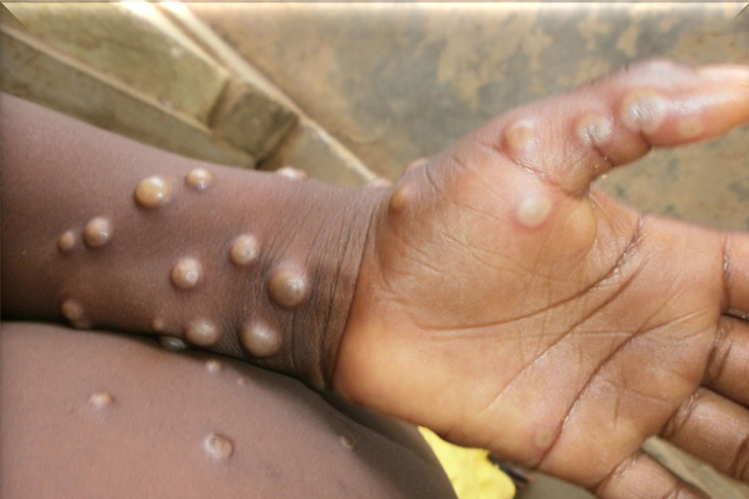
As DRC continues to catch up its post-pandemic immunity losses – as of 2022, the country’s coverage with the third dose of the basic diphtheria, tetanus and pertussis-containing vaccine (DTP3) had slipped to 65% from 73% in 2019 – that’s encouraging indeed.